
Visit Our Partner Websites
![]()

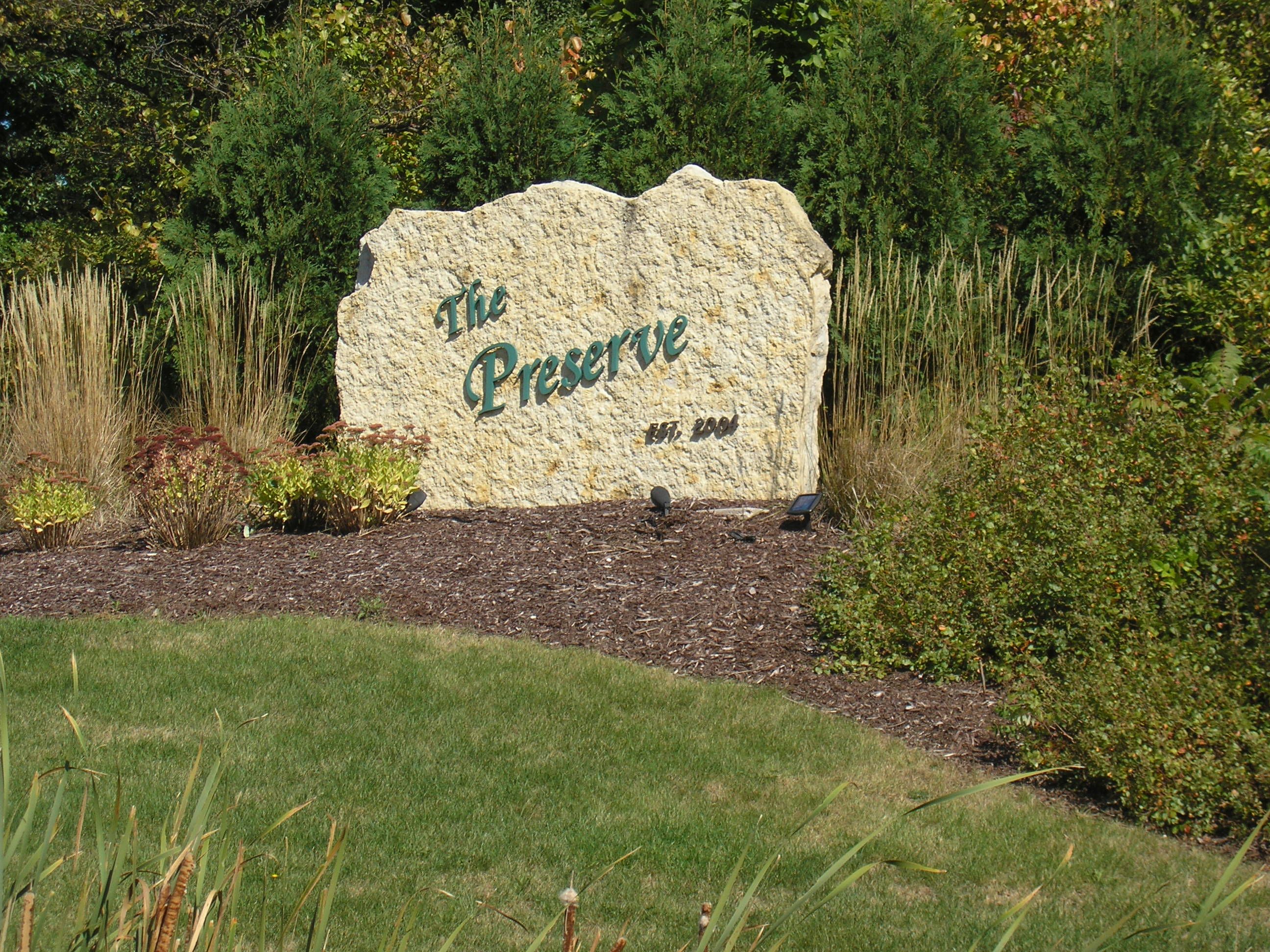
The Preserve
Mt. Pleasant, Racine County, Wisconsin
The Preserve was developed in 2003 and contains 55 single family lots.
This project was a collaboration between Newport Development Corp. and K Corp of Racine and was part of an overall development containing three subdivisions with the main heading of Seasons Ridge. In addition to The Preserve, Oak Hill and The Meadows were also part of Seasons Ridge.
The subdivision extends 90th Street from Spring Street (Hwy C) to the northern property line. The subdivision contains two streets that end in cul-de-sacs that overlook an outlot which contains a pond. In addition, there are walking trails through all of the outlots. A heavily wooded area screens the development from Spring Street.
Demand for this subdivision was so high that, along with Oak Hill, the developers held a lottery so residents could reserve lots!
Currently, the subdivision is managed by the Homeowners Association who enforce the restrictive covenants to maintain the uniqueness and character of the subdivision.
Plat maps are generally used to illustrate features, size and boundaries of a parcel of land. In addition to providing information about individual lots, plat maps provide information about a subdivision as a whole. These maps can be an invaluable resource when choosing a lot for your new home.

Click here to download and view the Plat Map for The Preserve.
After downloading the Plat map, you will have the ability to zoom in and zoom out via the Magnifying Glass tool available with Adobe Reader.
In order to better serve our clients, we have made the following documents available for download and online viewing.
- The Preserve Homeowner's Association By-Laws
- Restrictive Covenants for The Preserve
- Plat Map for The Preserve
The By-Laws available here are the original By-Laws. Please be advised that the By-Laws may have been modified by the Homeowner's Association. Newport Development Corp. does not guarantee that the By-Laws available here for download are the latest version. To verify if the By-Laws are current, please contact the Homeowner's Association. To locate the Registered Agent for the Homeowner's Association, please go to www.wdfi.org and "Search Business Records".
For additional information relating to this subdivision,
please contact Newport Development Corporation:
By Mail:
8338 Corporate Dr., Ste. 300
Racine, WI 53406
By Phone:
262.898.7777
By Email:
htremmel@hotmail.com