Woodland Hills
Mt. Pleasant, Racine County, Wisconsin
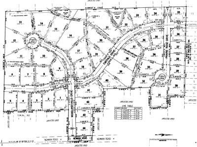
Woodland Hills was developed in 1997 in two phases and contains 44 single family lots.
Located west off of Newman Road, this subdivision contains a winding road and two roads that end in cul-de-sacs for private home sites. With the western portion of the site abutting forested areas, this is an executive subdivision which provides easy access to Hwy. 31 for easy commuting.
Plat maps are generally used to illustrate features, size and boundaries of a parcel of land. In addition to providing information about individual lots, plat maps provide information about a subdivision as a whole. These maps can be an invaluable resource when choosing a lot for your new home.

Click here to download and view the Plat Map for Woodland Hills.
After downloading the Plat map, you will have the ability to zoom in and zoom out via the Magnifying Glass tool available with Adobe Reader.
In order to better serve our clients, we have made the following documents available for download and online viewing.
For additional information relating to this subdivision,
please contact Newport Development Corporation:
By Mail:
8338 Corporate Dr., Ste. 300
Racine, WI 53406
By Phone:
262.898.7777
By Email:
htremmel@hotmail.com


